Services
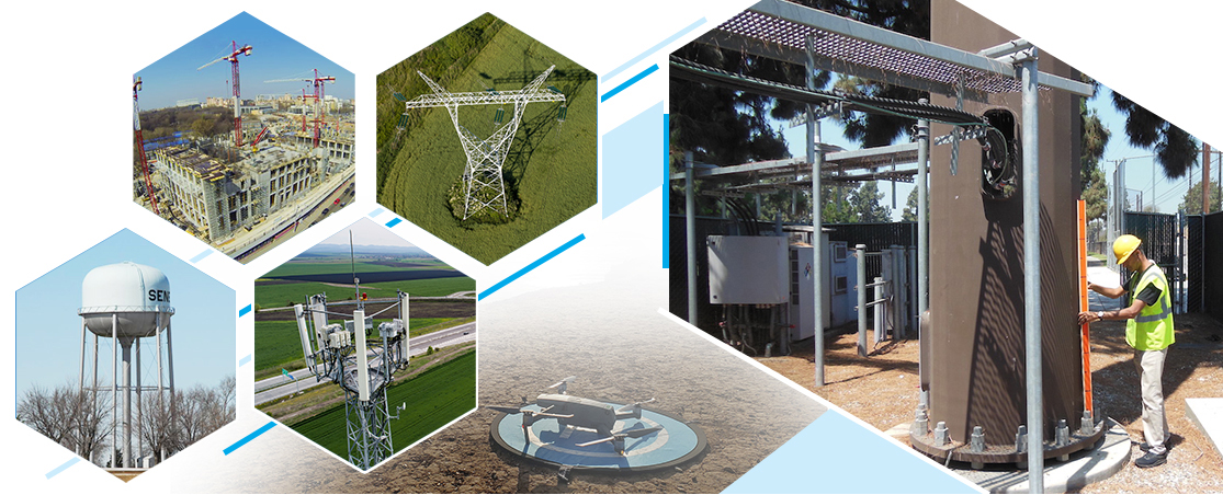
DRONE INSPECTION
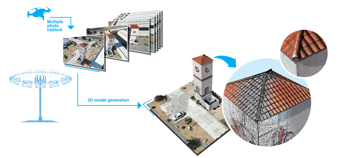
Infrastructure image scanning
We bring a drone onsite and fly patterns around infrastructure to collect images used to build 3D models for engineering and inspection reference.
The high-resolution images and models can provide detailed insight to structural, cable, and exterior conditions.
The customer receives:
- All raw images sets.
- 3D model files for CAD program import.
- Web hosted 3D model for easy sharing with internal and external partners.
- Point cloud data.
Optional services:
- Live collaboration
Join into drone flights from an office PC (or phone) and control the camera for live inspection reviews; team members across different offices anywhere in the country and all connect to the drone session together.
- Recorded video
Recorded video from the entire drone flight.
- 24 hour service
Depending on locality, if there was an incident at a facility, 24 hour service for image scanning and 3D models.
- Support for other agencies
Police, fire, etc.
- Ground based image scan
Ground based image scan alternatives when drone flights not permitted.
- Thermal imaging scans
Identify HVAC roof and pipeline issues, spot damaged solar panels, discover hazordous material leaks.